|
Gunnerside
Round
Starting point and OS Grid reference:

Centre
of Gunnerside village (SD 951982)
|
Ordnance Survey Map
OL
30 Yorkshire Dales – Northern and Central.
Buy
this map from
List
of OS Maps
Note: If you use OS Maps on-line, you can download this route via this
link.
| |
Distance: 9 Miles
|
Date of Walk: 4 May 2011
| |
Ascent:
Descent:
See Walking Time Calculator
|
2063ft (629m)
2059ft (628m)
| |
Traffic
light rating: 
(For explanation see My
Walks page)
| |


For advice on .gpx files see
My Walks page
|

Click
the PDF logo above to give a printable version of this walk without the
photos.
|
To
view route as a dynamic Ordnance Survey map click here.
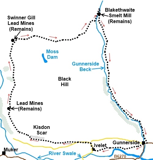
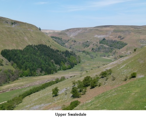
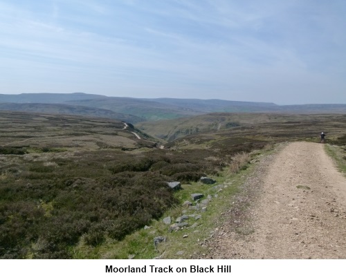
Introduction: This is a walk of varied interest from the
brilliant views over the lovely upper reaches of remote Swaledale as you
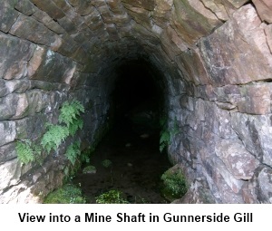
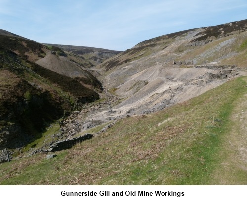
follow its course around Black Hill and Ivelet Moor, to the remains of lead
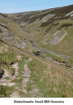
mining by Gunnerside Gill. Also in Gunnerside Gill are the extensive remains
of Blakethwaite Smelt Mill with information boards. To get the best views of
Swaledale, the walk follows a path high up the sides of Black Hill but it
mainly follows the contours of the hill so is a relatively easy walk,
although there are one or two places where it is necessary to cross shale.
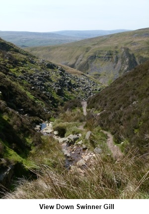
The walk up Swinner Gill is only moderately steep. Also the path is narrow
and close to the edge in places but should not present undue hazard with
care. There is a much easier track which follows the banks of the river
Swale itself but then you do not get the benefit of the best views.
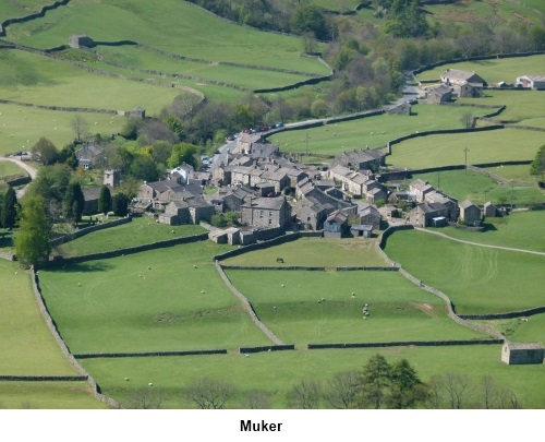
The walk starts at Gunnerside which is on the
B6270 between Reeth and Keld in Swaledale. There is free parking in the
village centre by the river bridge (SD 951982) There are also public
toilets.
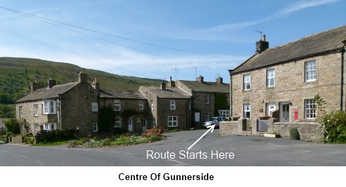
Start: Start the walk by taking the lane to the left
of the cottage called Greystones with the red pillar-box in its wall. Look
out for a small low level sign on the right to Ivelet. Take this path and
just round the corner it passes through a squeeze stile. The path across the
fields is then obvious.
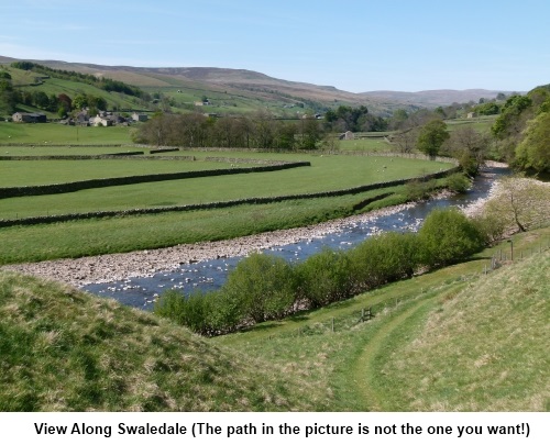
Follow this path across the fields until you
reach a fence overlooking the river Swale with a stile. Do not take this
stile but turn right and follow the fence up the field towards a finger post
in the left corner. Go through the squeeze stile and follow the sign for the
hamlet of Ivelet. The path is now high above the River Swale.
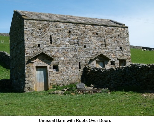
Continue through several stiles passing an
unusual barn with porch roofs over the doors.
Through the hamlet of Ivelet, turn right at
the red telephone box on the tarmac road (SD 936980). Follow this up the
steep hill passing a very large impressive house on the left and turn left
at the fork where there is a “no through road” sign (SD 936982). Along
here, watch out for a crude bridge of wooden sleepers on the right where
there is a finger post indicating a footpath across the open land (SD
932983). Take this route. This next section of path is not too obvious but
head for the cliff/rock outcrop on the hill (Kisdon Scar) (SD 920983). The
path passes just to the left hand side of a short section of collapsed stone
wall (SD 926982).
As you get closer to Kisdon Scar, the track
becomes clearer and appears as a double track in the grass caused by
vehicles. The path follows the rocky outcrop, bearing right and follows the
contour round the hill at about 1250 feet.
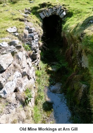
Eventually, the path drops down to Arn Gill
above some old mine workings. Once over the gill the path turns right up the
hill (indicated by a white footpath arrow sign on a post. Once up the hill,
the path continues to follow the hill contour still overlooking the river
Swale.
.jpg)
Pass across the top of the next gill (West
Arn Gill) (SD 912992) where the path is not easy to spot but it drops down
slightly to round the top of the next gill.
As you arrive at a large area of boulders the
path bears right to a ladder stile over a wall (NY 912004). Continue to
Swinner Gill where you descend to some old mine workings (NY 913012).
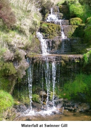
Go up the left hand side of the gill close to
the water and at the top, bear right and join the broad moorland gravel
track, turning left when you reach it (NY 918013).
Keep on this track until you get to a stone
built fairly crude sheep pen arrangement just before the main track turns
sharply right. The path you want leaves the main track here on the left (NY
931013) but is not obvious. If you cannot spot the path, head downhill
across the moors heading slightly left and the path will eventually become
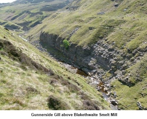
clear leading to the extensive remains of the old Blakethwaite Smelt Mill by
Gunnerside Beck.
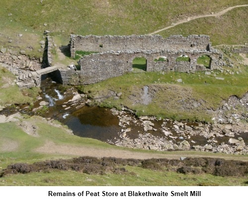
Continue up the valley on the left hand side
until you reach a level gravel area supported by stone walls. Cross
Gunnerside Beck to the other side and turn right following the footpath as
it climbs above the workings.
Remain on
the footpath down the valley, ignoring any left turns and follow the
course of Gunnerside Beck back to Gunnerside.
If you need to buy any hiking
equipment/clothing before your trip see the Hiking
Store
All information on this
site is given in good faith and no liability is accepted in respect of any
damage, loss or injury which might result from acting on it.
|


.jpg)
.jpg)
.jpg)